
Ground photos sell the rooms. Drone stills sell the lot. For agents listing in Maricopa and across Pinal County, that aerial is often the frame that answers “how big is the yard?” before a buyer ever books a showing.
What Aerials Show That Ground Shots Miss
A sidewalk exterior shows curb appeal. Buyers already understand the front door. A drone still answers different questions:
- How large is the lot relative to neighboring homes?
- Where is the pool, patio, or outdoor kitchen relative to the house?
- Are there mountain, desert, or open-space views behind the property?
- How does the home sit on a corner, cul-de-sac, or wider parcel?
For listings in Casa Grande, Florence, San Tan Valley, and nearby Pinal communities, those answers often live above rooftop height. One clear aerial can replace several paragraphs of “spacious lot” copy.
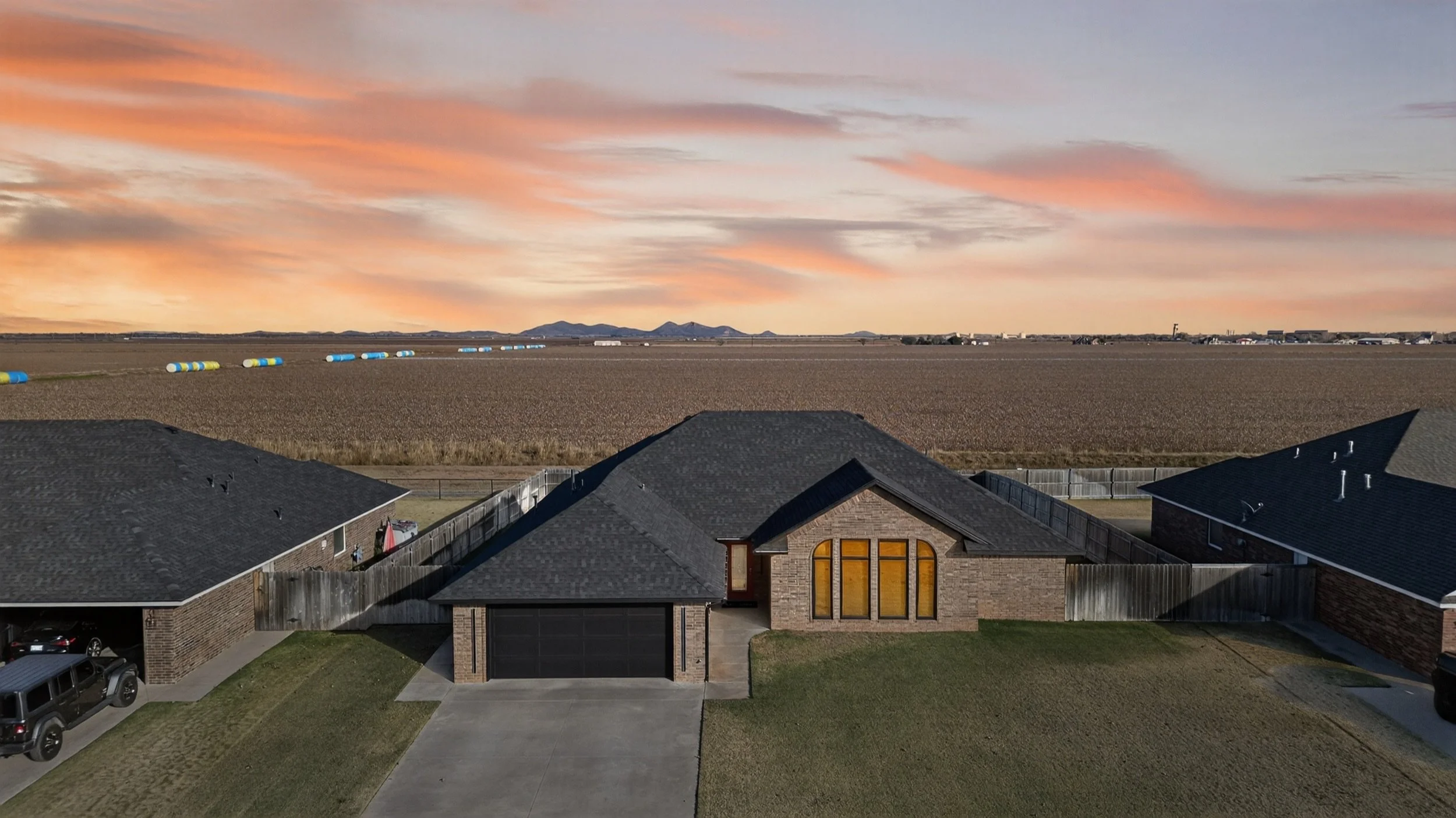
Aerial at sunset showing lot layout and open land
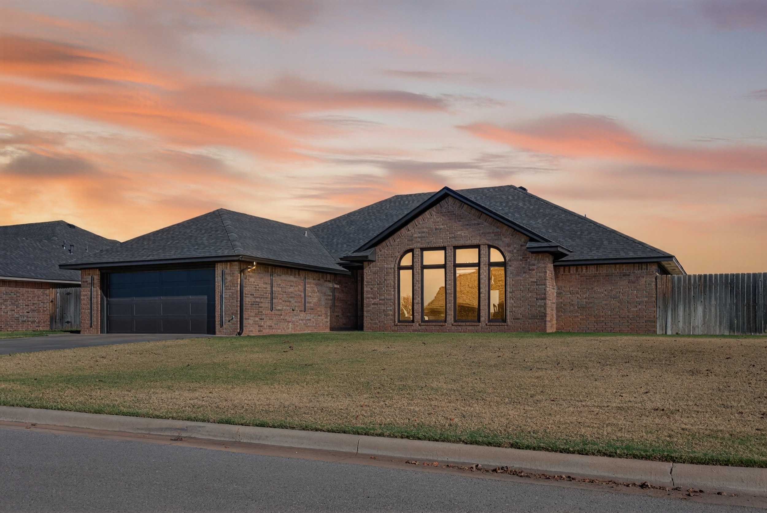
Matched twilight front exterior from the same shoot
Lot Size and Outdoor Living
Pinal inventory ranges from compact new-build lots to wider parcels with desert landscaping. Buyers comparing those options online need scale. Drone photos make scale visible without asking them to imagine it from a fence-line shot.
Pools, covered patios, sport courts, and RV parking also read clearly from above. When those features sell the home, put the aerial early in the gallery, right after the hero exterior, so mobile browsers see the full property story quickly.
If the listing is in a Maricopa subdivision with similar elevations, the aerial is often what separates one address from the next on a phone screen. Same idea in Casa Grande or San Tan Valley: show the lot and the context, then let the ground photos finish the story.
Browse presentation quality in the Gallery. Pair aerials with cleaned exteriors and bright interiors so the set feels consistent.
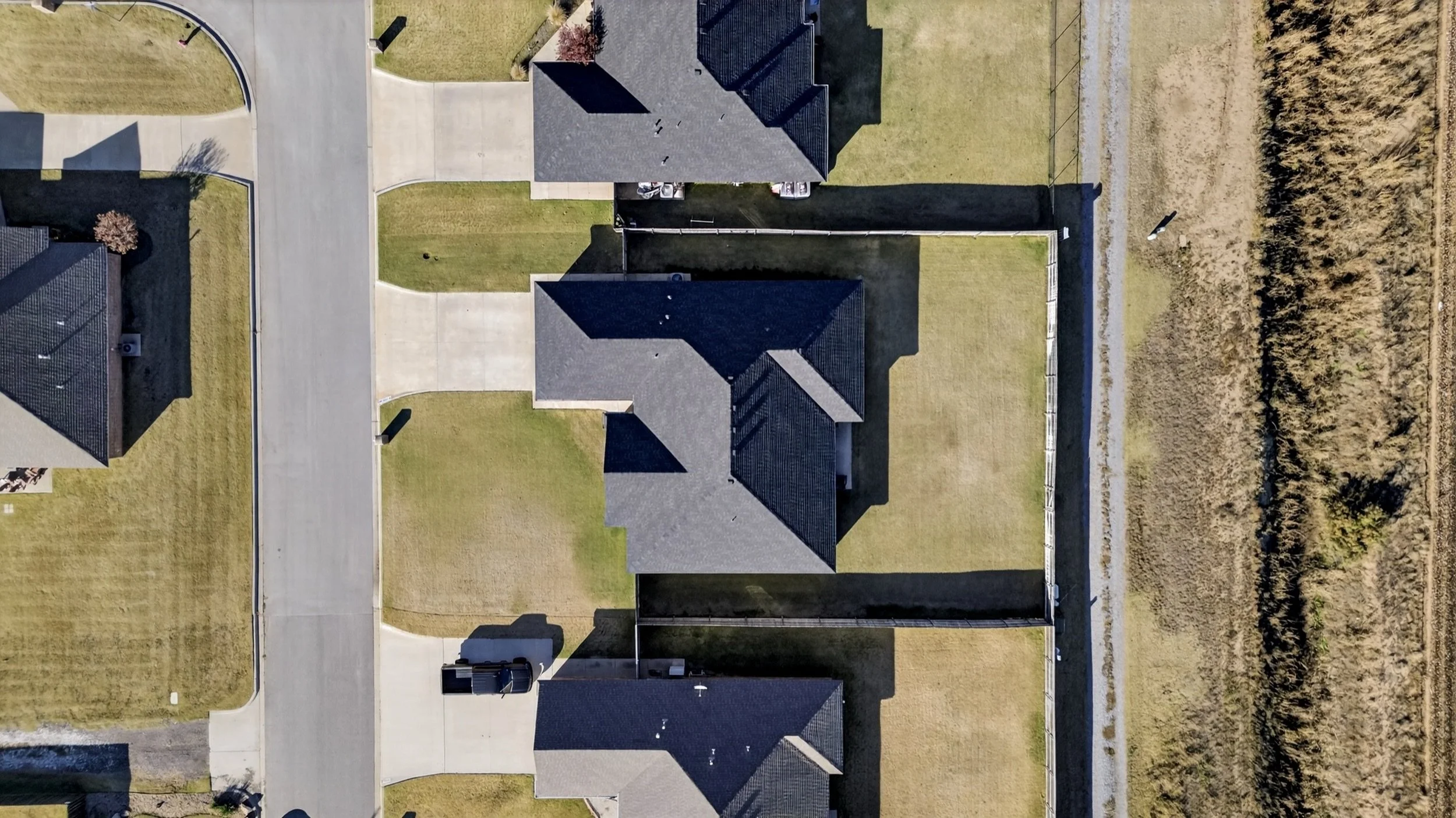
Overhead lot view for scale
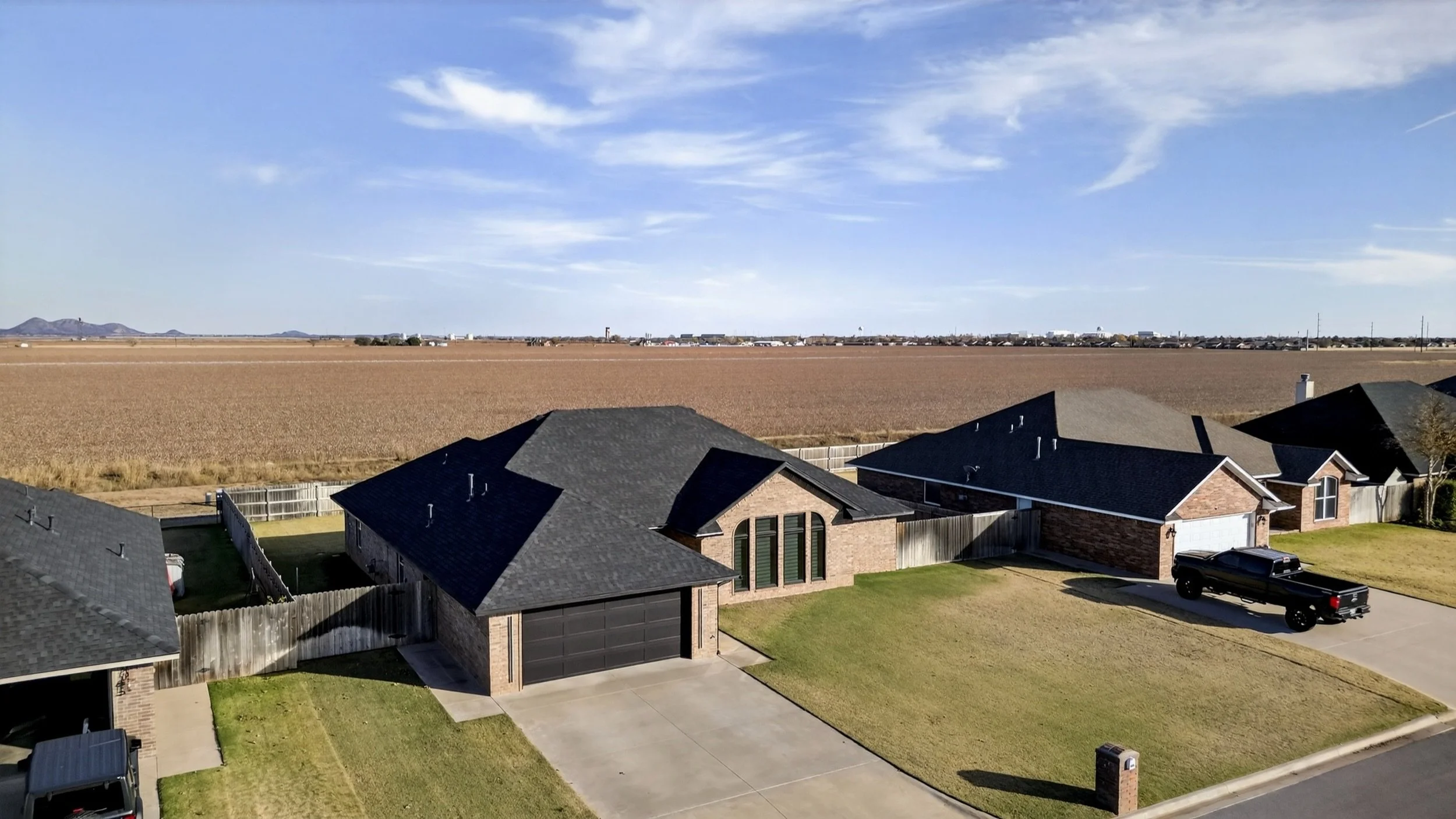
Elevated aerial with open land and distant mountains
Credentials That Matter
Agents hiring drone coverage should expect commercial compliance and clean delivery, not a hobby flight. Glideslope Media is a veteran-owned studio. Aerial stills are captured under an FAA Part 107 license and are included with Signature and Premier on the current home page package cards (drone can also be added to Basic—see the FAQ). The studio is an ARMLS Preferred Photographer and supports Zillow Showcase presentations. That matters when sellers ask who will be near their roof line and what will appear on MLS.
This post is about listing value, not flight planning or airspace.
Keep the conversation on listing outcomes: clearer outdoor storytelling, stronger yard and pool visibility, and media that matches how you want the listing to read online. This site does not publish airspace, authorization, or flight-ops instruction.
How It Fits the Packages
Per the live FAQ and home page package cards:
- Basic ($199): professional photos; drone available as an add-on.
- Signature ($499): photos plus Part 107 drone work, an interactive 3D virtual tour, and a 2D floor plan.
- Premier ($899): everything in Signature, plus cinematic video walkthrough, virtual staging, and virtual twilight.
Video remains Premier-only. It is never free and is not used as a lead hook. For most residential launches in this market, Signature is the package that pairs still photography with drone in one deliverable. Book once, stage once, and get both in the same media set.
Book Photos Plus Drone
If you want photos and drone in one booking for a Pinal County or Maricopa listing, contact Glideslope Media or start from the packages on the home page. First-time clients can use WELCOME100 for $100 off your first Signature shoot.
